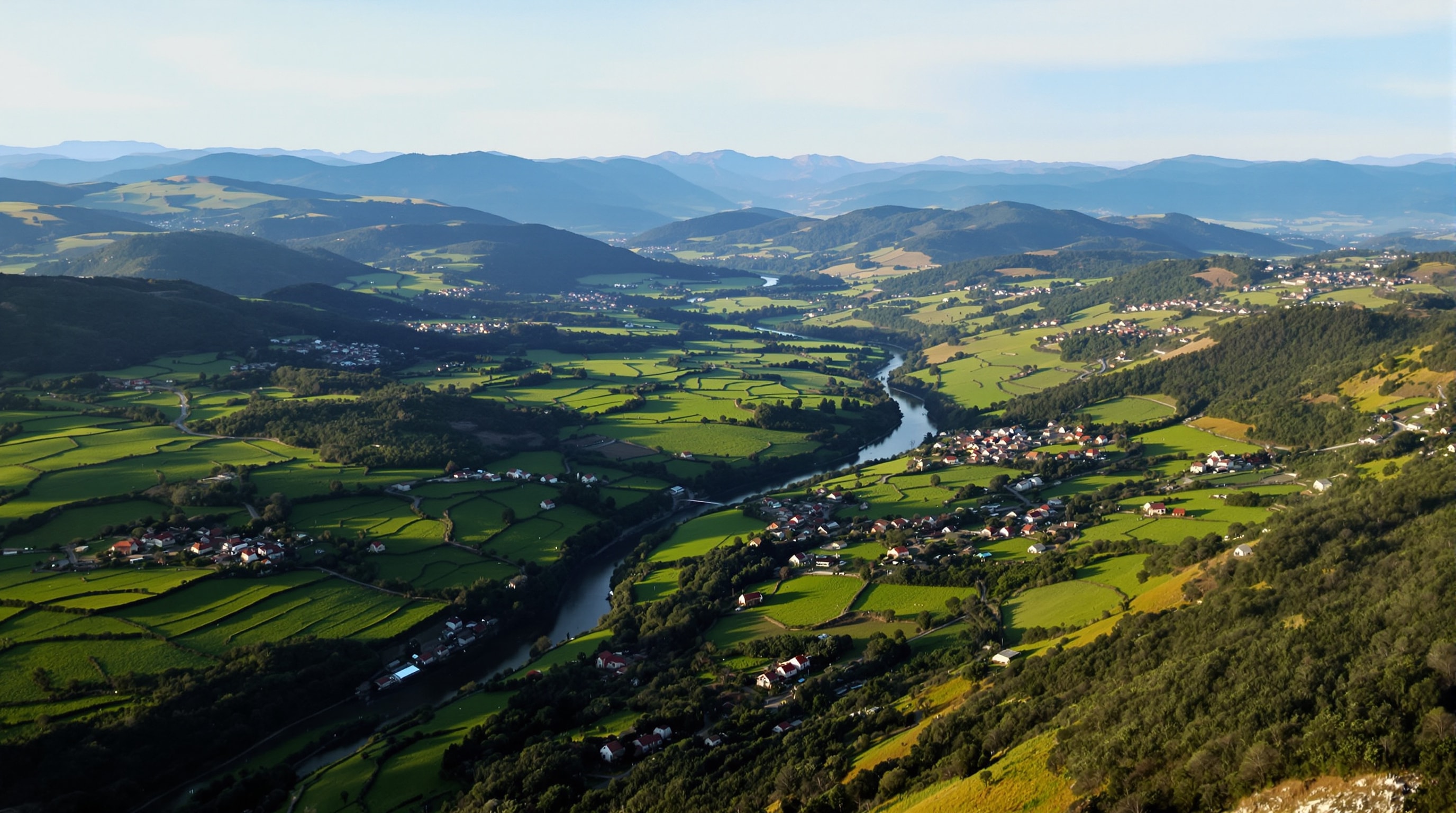
Portugal is small — roughly 560 kilometres from the Minho to the Algarve — and that fact misleads more visitors than any other. The country is long, narrow, and divided the short way by rivers and mountain ranges that road builders have had to work around ever since the Romans. This page sets out how the seven manor regions relate to one another on the ground.
The Shape of the Country
Think of mainland Portugal as a rectangle about 560 kilometres tall and 220 wide, with the Atlantic down the whole western side and Spain along the east and much of the north. Four big rivers cross it west to east, and each one marks a real change in landscape, building material and climate: the Minho on the northern border, the Douro a hundred kilometres south of it, the Mondego through the middle, and the Tagus reaching the sea at Lisbon.
North of the Douro is granite, rain and small fields. Between the Douro and the Tagus is a transition — limestone appearing, rainfall dropping, holdings getting larger. South of the Tagus is the plain: hot, dry, thinly populated, farmed in thousands of hectares rather than dozens.
The Seven Regions, North to South
The regional divisions used throughout this guide follow that geography rather than modern administrative districts.
- Alto Minho — the top left corner, between the Minho and Lima rivers. Gateway: Porto, about an hour south. Densest manor-house country in Portugal.
- Porto and the Douro — the Douro gorge running inland from Porto to the Spanish border. Gateway: Porto. Two to three hours from the city to the upper valley.
- The Beiras — the wide middle of the country, from the Aveiro lagoon east to the mountains. Gateways: Coimbra, Viseu.
- The Tagus Valley — north and east of Lisbon: Óbidos, the abbeys, the Ribatejo plain. Gateway: Lisbon, under ninety minutes.
- The Lisbon Coast — Sintra, Cascais, the Setúbal peninsula. Gateway: Lisbon, reachable by suburban train.
- The Alentejo — everything from the Tagus south to the Algarve hills. Gateways: Lisbon, Évora.
- The Algarve — the southern coast and the hills behind it. Gateway: Faro.
Realistic Driving Times
Motorway journeys along the western corridor are fast and dull. Everything else takes longer than the distance suggests, because the interesting roads follow river valleys and contour lines.
- Porto to Ponte de Lima — about an hour on the motorway.
- Porto to Pinhão, in the heart of the Douro terraces — around two hours by motorway and the last stretch on the river road; considerably longer, and much better, if you take the valley the whole way.
- Porto to Lisbon — about three hours on the motorway, with nothing to see. The same journey through Coimbra and the Beiras is a comfortable two days.
- Lisbon to Óbidos — under an hour.
- Lisbon to Évora — about ninety minutes across the bridge and the plain.
- Lisbon to Faro — around two and a half hours; Porto to Faro is a full day and rarely worth doing in one go.
Two rules of thumb hold nearly everywhere. Minor roads in the north average well under fifty kilometres an hour once you leave the valley floors. And the last few kilometres to any rural house are usually the slowest part of the day — single track, unsigned junctions, and a gate that is not where the satellite navigation thinks it is.
Combining Regions Sensibly
The natural pairings are geographic. Alto Minho with the Douro makes an excellent week out of Porto, with the two regions an hour or so apart and completely different in character. The Beiras combine with either, or stand alone as a slow week between the two cities. The Tagus valley and the Lisbon coast are effectively one trip. The Alentejo pairs with Lisbon in spring, or with the Algarve if you want the coast at the end of it.
What does not work is trying to cover the north and the south in a single short trip. They are five hours apart, they are best in different seasons, and the whole point of these houses is that you stop moving for a few days.
A Note on This Page
The original version of this page, in the site's first life, was an interactive locator built on a mapping service whose interface has long since been retired. Rather than replace it with an embedded map that will be equally dead in a decade, we have written down the geography instead. For current mapping, the national tourism authority's regional destination pages are the sensible starting point, and any modern mapping application will do the routing better than we could.
For practical planning — seasons, weather, driving and what to expect on arrival — see planning a manor house journey. For what you will actually be looking at when you get there, the architecture guide and the glossary of house types.